

Point clouds and friends
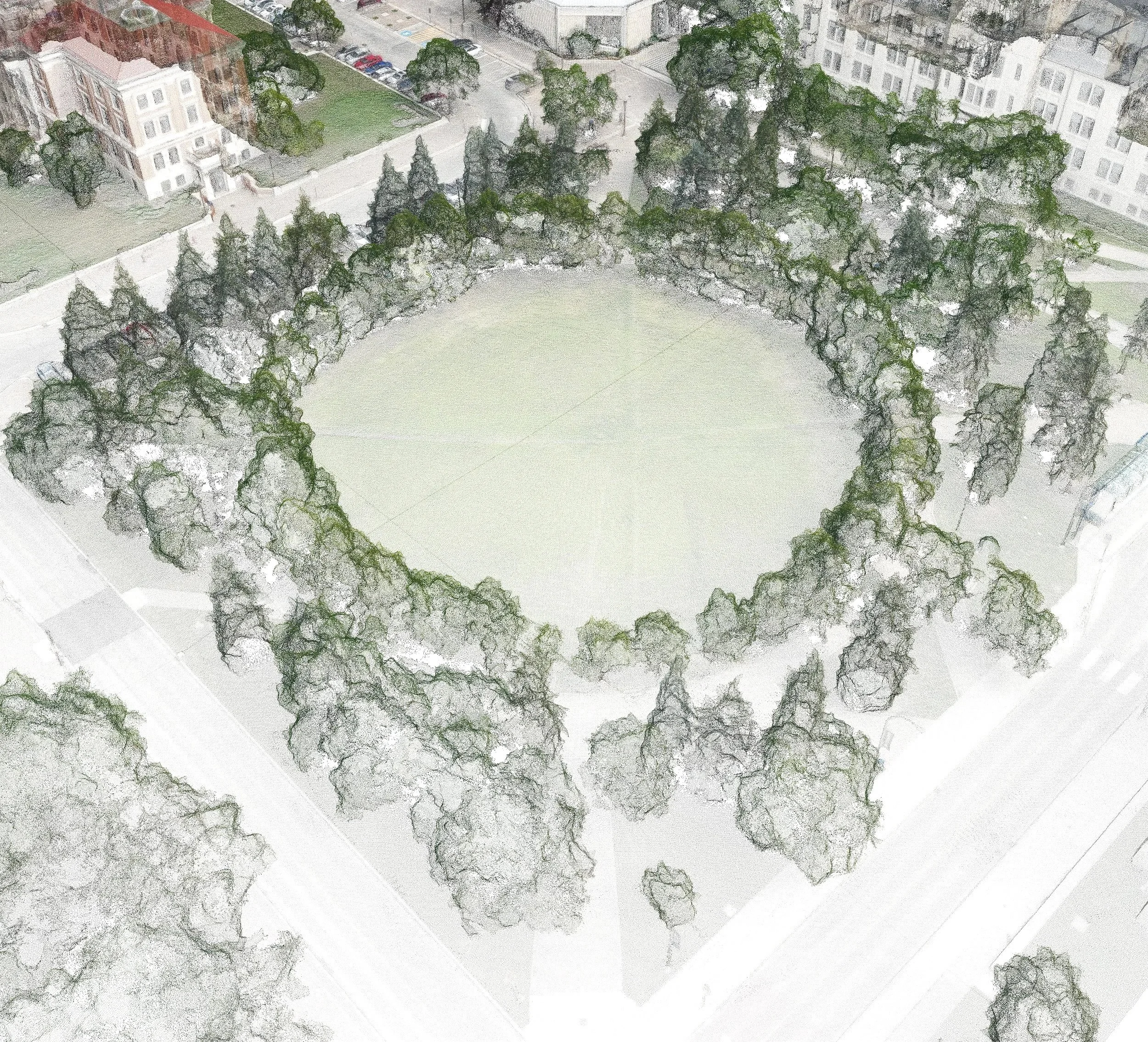
Point cloud of the The Quad at the University of Manitoba Fort Garry Campus


Level of Details
Proposed Level of Details (LOD) framework for multiple key urban elements


Point cloud of the The Quad at the University of Manitoba Fort Garry Campus
Proposed Level of Details (LOD) framework for multiple key urban elements
Buildings of Winnipeg (including key parcel assessment data)
Winnipeg's individual tree canopy (> 1.4 million GIS-ready shapes)
Aerial laser scan (ALS) + orthoimage (leaf-off condition)
Real-time near-infrared (NIR) sensing at centimetre scale